

X120GO SLAM Laser Scanner
Accurate & Versatile
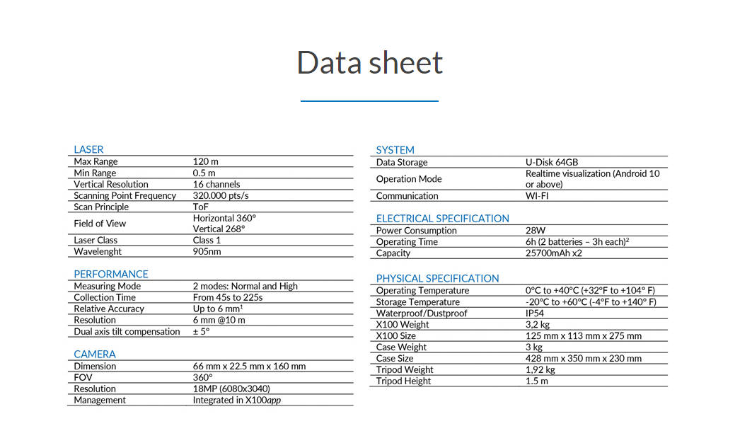
The system has a 360° rotating head, which can generate a 360°x270° point cloud coverage. Combined with the industry-level SLAM algorithm, it can obtain high-precision three-dimensional point cloud data of the surrounding environment without light and GPS. Equipped with three 5MP cameras to generate a 200°FOV horizontal and 100°FOV vertical, capable of synchronously obtaining texture information and producing colour point clouds and partial panoramic images.
X120GO can use GOapp to check and manage projects which will be updated and displayed synchronously. Real-time SLAM mapping and preview can be achieved via GOapp.
GOpost can perform post-processing of collected data, generate high-precision and high-definition color point clouds, produce partial panoramic images, display point cloud and perform optimization processing.
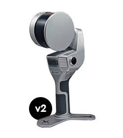
X120GO has an integrated structure design with a built-in control and storage system and built-in replaceable lithium batteries. Once pressed the start button, X120GO can start operations immediately, making data acquisition more efficient and convenient.

GOapp
GOapp is Stonex SLAM’s dedicated mobile application to manage projects, real-time point cloud display, image preview, firmware upgrade, and other operations. The APP runs on Android and iOS operating systems.

GOpost
Windows post-processing software that performs optimization, coloring of point clouds, and creation of panoramic images. You can also import control points to georeference the point cloud.
- X120GO
- Carrying case
- 4 chargable batteries
- charger for batteries
- EU and US charger
- base for GCP measure
- 32 GB card
- USB stick (SD reader)
- GOapp
- GOpost
- USB dongle for GOpost
- calibration test
- USB stick with manual